


Each technique available now or in the foreseeable future for what is known as alt-PNT comes with a need to make size, weight, power and cost trade-offs based on what type of platform is being used, according to experts.
By Theresa HitchensROC-X – The solution to organic precision strike capabilities
At AUSA Global Force 2024, IAI presented integrated, AI-driven combat systems – both manned and unmanned – that are opening new opportunities on the battlefield.
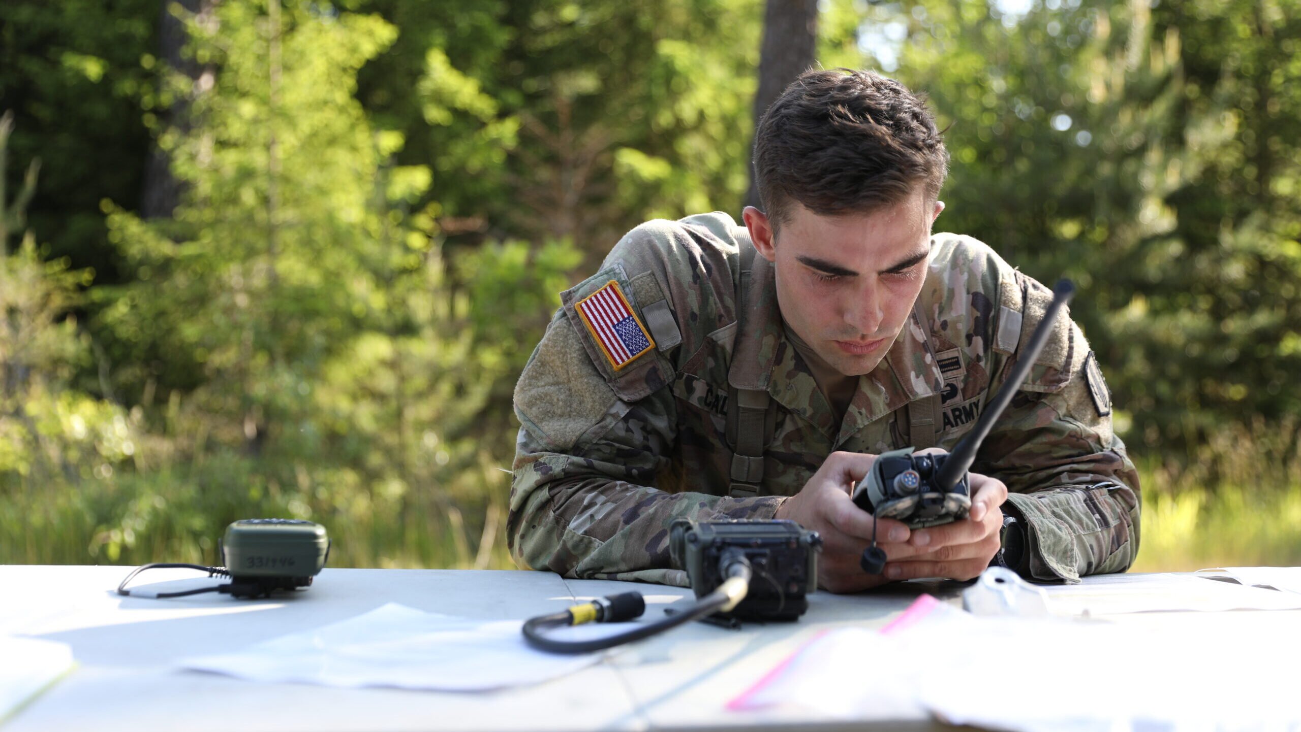
“I don’t want to take a very expensive, very, very capable [alternative] PNT system that belongs on, let’s say, a Stryker platform or an Abrams tank or something like that, and … stick it on the robot that is the one that I’m training to take first contact,” Michael Monteleone, head of the Army’s new All-Domain Sensing CFT, explained.
By Theresa Hitchens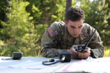
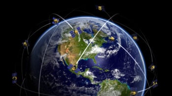
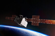
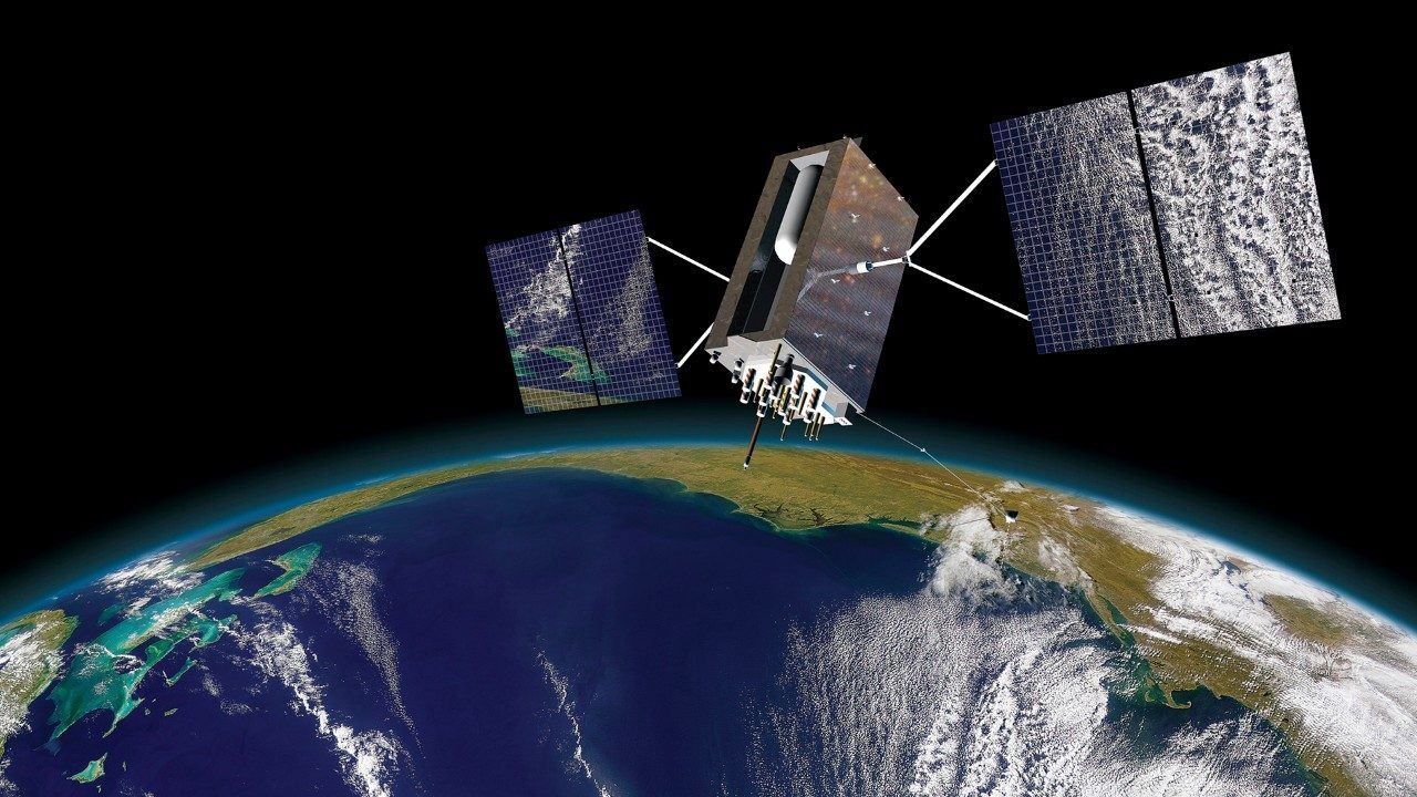
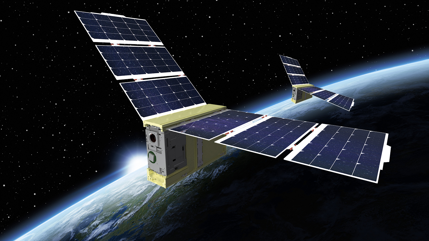
Space Force’s primary acquisition command, Space Systems Command (SSC), is seeking industry input on the possibility of building smaller, lighter and cheaper GPS satellites.
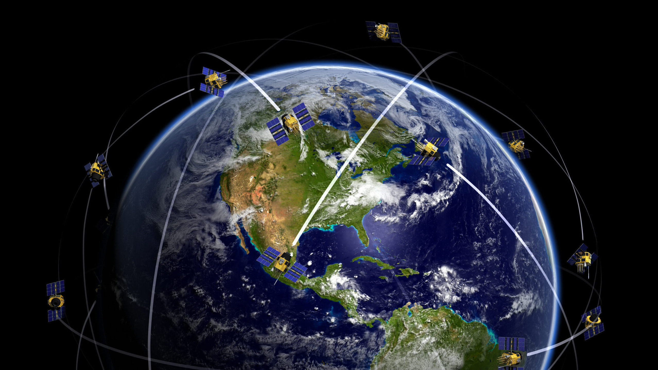
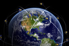
By Theresa Hitchens SDA Director Derek Tournear said next year his organization will begin launching the Tranche 1 Transport Layer satellites for regional communications, which also will carry a “navigation message” embedded in their venerable Link 16 data links.
By Theresa Hitchens
Brig. Gen. Jason Cothern, Space Systems Command deputy commander, said that the new deltas will be organized along the same lines as SSC’s current Acquisition Deltas.
By Theresa Hitchens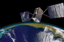
The two new Integrated Mission Deltas will be responsible for all aspects of electronic warfare and positioning, navigation and timing.
By Theresa Hitchens

Pulsar-based PNT could be used in cislunar space — where the Space Force already is eyeing future operations — or farther out into the solar system where GPS signals do not reach, explained Paul Ray, NRL’s head of high energy astrophysics and applications.
By Theresa Hitchens
Military innovation and savings: Go commercial
DoD uses FAR Part 12 acquisitions to save hundreds of millions of dollars in “of a type” systems like civil landing systems with applicability to military aircraft.

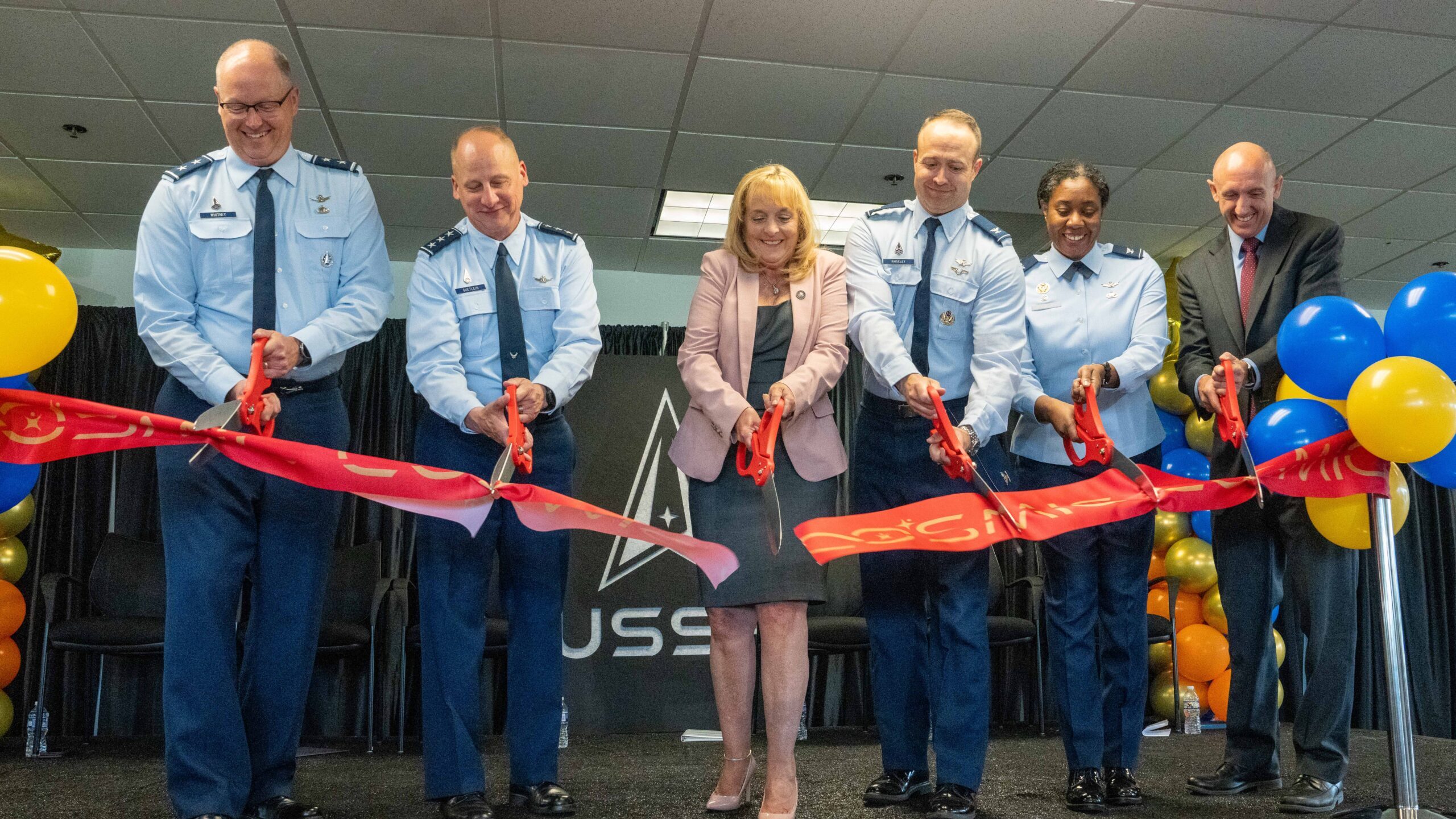
Space Systems Command’s new Commercial Space Marketplace for Innovation and Collaboration (COSMIC) facility in Chantilly, Virg., will serve as the “physical headquarters” for the SSC Commercial Space Office.
By Theresa Hitchens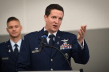
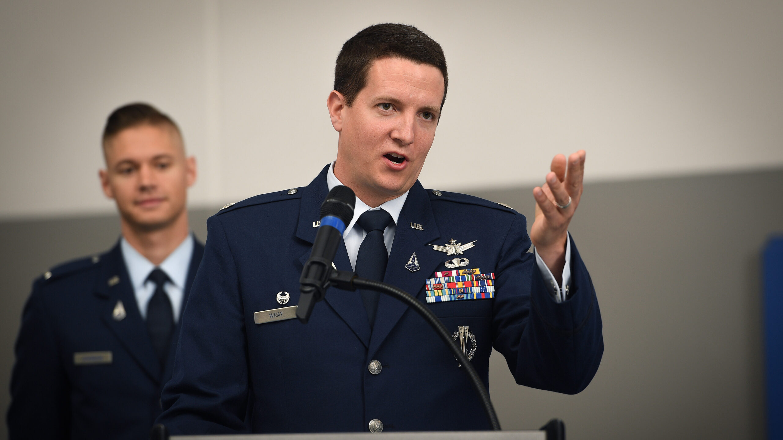
In a rare tour of the GPS ops floor, Lt. Col. Robert Wray, commander of the Space Force’s 2nd Operations Squadron responsible for GPS operations, described the mission and why timing, more than anything, is critical.
By Theresa Hitchens
SDA already has a lot of interest from the Army and DoD’s testing community in its Space-Based Telemetry Monitoring, Electronic Support, and Alternative Navigation (SABRE) project.
By Theresa Hitchens

NGA is looking to both upgrade its software-based terrestrial data models and transition them to a cloud environment.
By Theresa Hitchens
“SDA is considering signals different to GPS, but offered within the same frequency bands. If SDA’s military PNT service is located within the existing GPS frequency bands, it will minimize integration cost of new antenna systems on terrestrial weapon systems,” explained Jennifer Elzea, SDA spokesperson.
By Theresa Hitchens

Michael Monteleone, director of the Army’s assured PNT and space cross functional team, said that the service is interested in high altitude platforms as a capability for “bridging between an aerial layer and space.”
By Theresa Hitchens
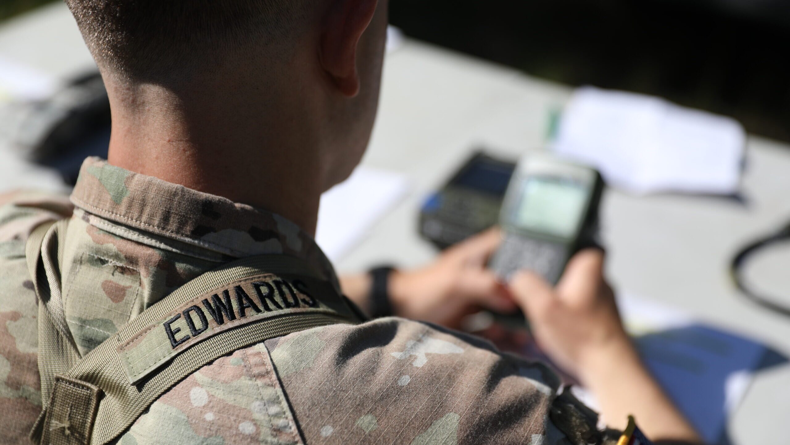
The experimental tech would directly alert soldiers on the ground when GPS signals have been disrupted.
By Theresa Hitchens